File:Stafford.png
Size of this preview: 400 × 600 pixels. Other resolutions: 160 × 240 pixels | 600 × 900 pixels.
Original file (600 × 900 pixels, file size: 115 KB, MIME type: image/png)
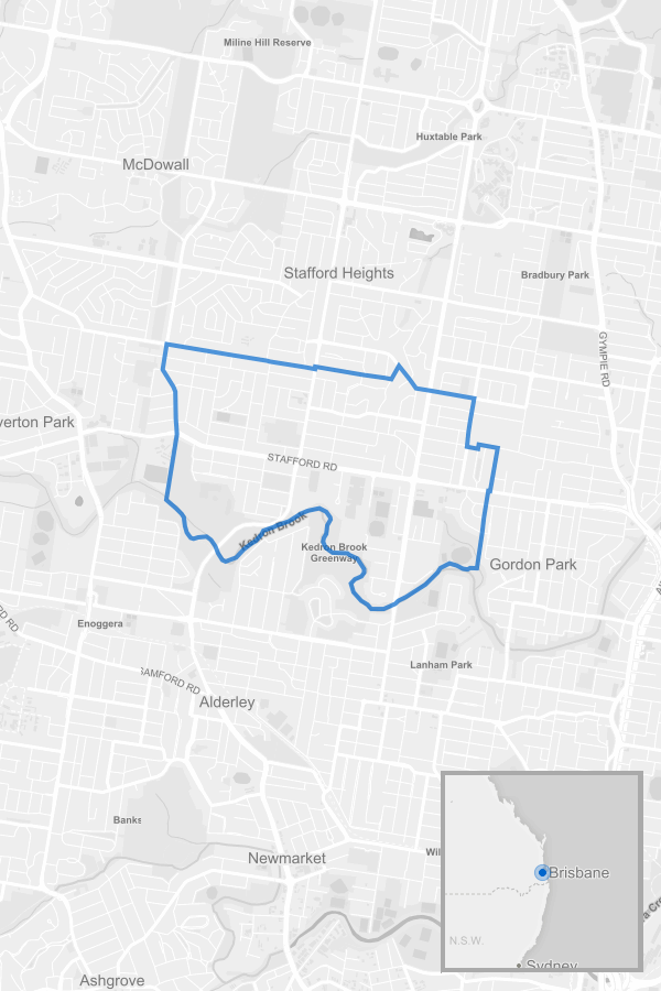
Description Map of Stafford
Generated with © Mapbox and © OpenStreetMap
Suburb boundary from ABS Suburb boundaries for ABS Region SSC31530 ABS SSC
File history
Click on a date/time to view the file as it appeared at that time.
| Date/Time | Dimensions | User | Comment | |
|---|---|---|---|---|
| current | 13:52, 29 March 2016 | 600 × 900 (115 KB) | Medaxs (talk | contribs) |
- You cannot overwrite this file.
File usage
The following page links to this file: